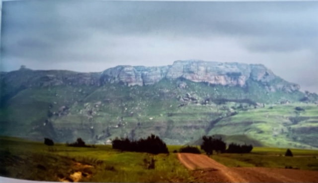
The indigenous bush, small clumps of ouhout trees, breath taking views, crystal clear cascades over sheer cliffs and resting in deep pools below and broken dirt tracks, of the passes that connect the eastern Free State with KwaZulu Natal are shouting to be explored. These passes are flanked by the towns of Geluksburg, Swinburne and Van Reenen The Tintwas Pass …. is 5 kms of gravel that run on a NW / SE axis. Very basically speaking (as to label things is to make them more understandable and is a basis of human nature) The Middeldale pass is the tarred section while the Tintwa Pass is the gravel section. The Lost Valley is situated between MD and Van Reenens pass. In 1948 it was given this sensational name by the Editor of a local rag (The Harrismith Cornicle) Although the valley is isolated and hidden away, the main reason for this was the arduous journey down into the valley on horse or donkey. Access though possible (not by vehicle or wagon in the early days) is still very difficult in this day, imagine over 60 years ago! It is a very deep valley, a long narrow base surrounded by steep hills and kloofs on all sides. To add to exaggeration and imagination, the history of the valley is not well documented and word-of-mouth is the means it was past down from generation to generation. One of the stories is that Pieter De Heer, one of the original farmers in the valley, is said to have a university degree from the university of Layden in Rotterdam. What is clear is that after travelling through South America he ended up in South Africa. After working (as an amateur photographer and as a school teacher) in Durban, he arrived in the Ladysmith area in 1900 and in 1910, together with his second wife, they bought a piece of crown land near Middeldale called Jacobs Ladder. Through this healthy and humble life in their remote valley without the expensive conveniences of the time, the De Heer family was able to thrive and expand their farming operation to include both the neighboring farms. By 1955 there were over five families farming around the valley and the De Heers were very much part of this community
GPS for the summit S28.447859 E29.229000 – love places that only have a GPS point – what an adventure is coming …